Architecture · imported, unverified
Zamek w Międzyrzeczu
château
municipality and region not yet available · Poland
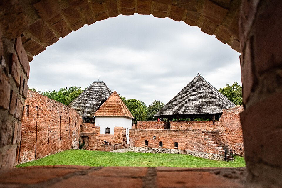
Piastowski Zamek Królewski w Międzyrzeczu – otoczona fosą średniowieczna twierdza obronna wzniesiona ok. 1350 r. w Międzyrzeczu przez Kazimierza Wielkiego w miejscu grodu warownego z drugiej połowy IX wieku, zlokalizowana na pagórze o wysokości 55 m n.p.m., w widłach dwóch rzek – Obry i Paklicy.
Text: Wikipedia: Zamek w Międzyrzeczu (opening paragraph, possibly shortened), licensed under CC BY-SA 4.0. Contributors are listed in the article history. This text may be redistributed under the same terms.
Description available only in the original language for now.
Coordinates
52.44509, 15.57196

Coordinates of the feature; for paths and areas, these mark the centre, not a shooting position.
Navigation and sources
Imported data, not yet checked by a person. © OpenStreetMap (ODbL)