Architecture · imported, unverified
Sándor-palota
palace
municipality and region not yet available · Hungary
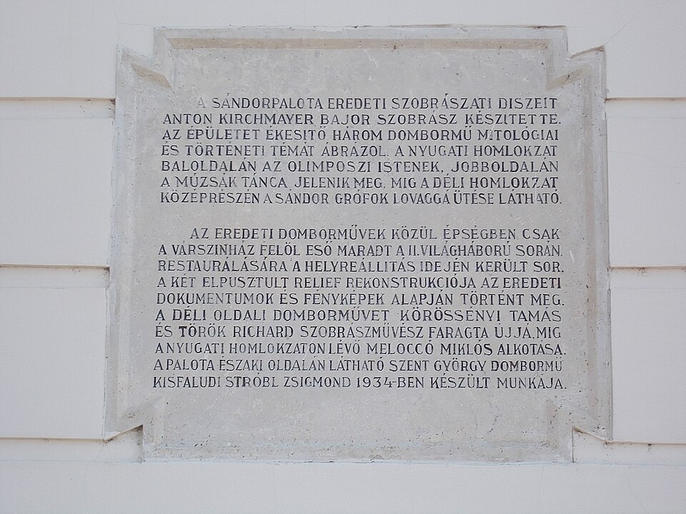
A Sándor-palota Budapesten, a Budai Várnegyedben, a Szent György téren található épület, alatta halad el a budai Váralagút. 2003 óta a köztársasági elnök rezidenciája, egyben a Köztársasági Elnöki Hivatal (KEH) székhelye. 1803–1806 között épült klasszicista stílusban. Eredetileg a Sándor család otthona volt.
Text: Wikipédia: Sándor-palota (Budapest) (opening paragraph, possibly shortened), licensed under CC BY-SA 4.0. Contributors are listed in the article history. This text may be redistributed under the same terms.
Description available only in the original language for now.
Coordinates
47.49797, 19.03805

Coordinates of the feature; for paths and areas, these mark the centre, not a shooting position.
Navigation and sources
Imported data, not yet checked by a person. © OpenStreetMap (ODbL)