Water · imported, unverified
Vodné dielo Žilina
reservoir
Mojš · Žilinský kraj · Slovakia
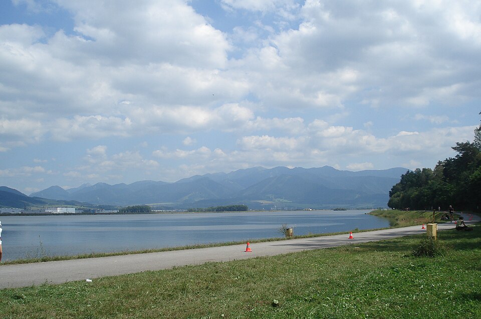
Vodné dielo Žilina is a water structure on the Váh river near Žilina, commissioned in 1997–1998. It mainly generates electricity and supplies industrial plants in Žilina with process water. Its hydroelectric plant features two units with a total capacity of 72 MW (2 × 36 MW). The average annual power output between 1998 and 2000 was 156 GWh/year.
Text: Wikipédia: Žilina (vodné dielo) (opening paragraph, possibly shortened), licensed under CC BY-SA 4.0. Contributors are listed in the article history. This text may be redistributed under the same terms.
Description machine-translated from the original text; help us fix any mistakes. Report an error
Coordinates
49.20268, 18.81485

Coordinates of the feature; for paths and areas, these mark the centre, not a shooting position.
Navigation and sources
Imported data, not yet checked by a person. © OpenStreetMap (ODbL)