Architecture · imported, unverified
Zamek Królewski w Nowym Sączu
château
Nowy Sącz · województwo małopolskie · Poland
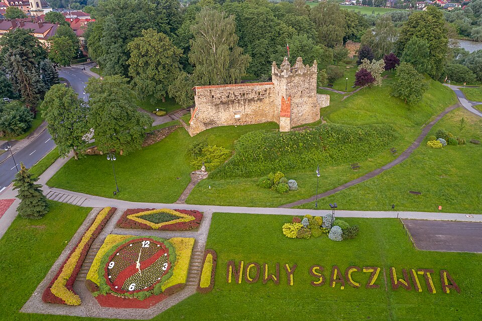
Ruins of a medieval castle in Nowy Sącz, built in 1350–1360 on the initiative of King Casimir the Great on an escarpment at the fork of the Dunajec and Kamienica. Fragments of perimeter walls and the rebuilt Baszta Kowalska remain.
Text: Wikipedia: Zamek Królewski w Nowym Sączu (opening paragraph, possibly shortened), licensed under CC BY-SA 4.0. Contributors are listed in the article history. This text may be redistributed under the same terms.
Description machine-translated from the original text; help us fix any mistakes. Report an error
Coordinates
49.62851, 20.6891

Coordinates of the feature; for paths and areas, these mark the centre, not a shooting position.
Navigation and sources
Imported data, not yet checked by a person. © OpenStreetMap (ODbL)