Rock formations and nature · imported, unverified
Baktalórántházi-erdő Természetvédelmi Terület
nature reserve
Baktalórántháza · Szabolcs-Szatmár-Bereg megye · Hungary
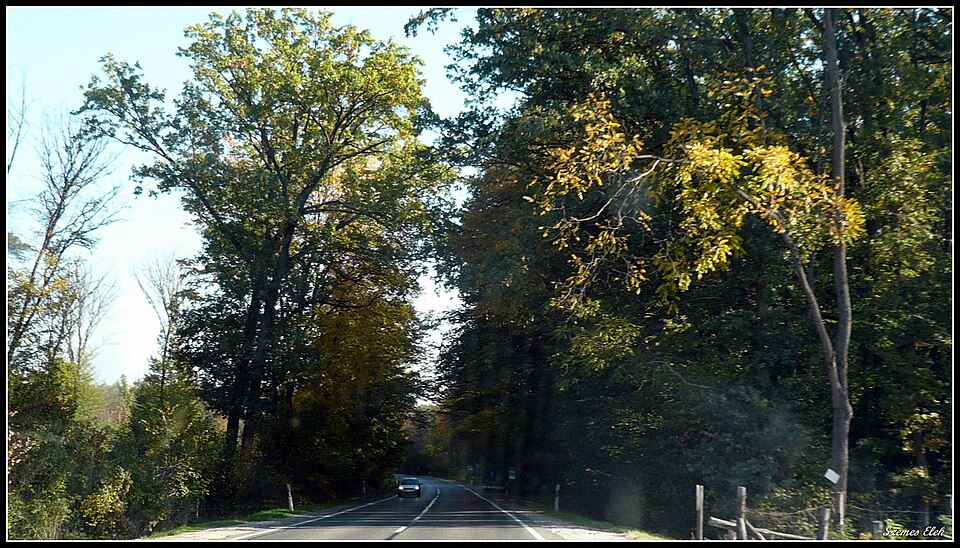
In the heart of Nyírség, near Baktalórántháza, 309 hectares of woodland have been protected since 1977. Covered by oak forests with lily of the valley, it is accessible via marked tourist trails.
Text: Wikipédia: Baktalórántházi-erdő Természetvédelmi Terület (opening paragraph, possibly shortened), licensed under CC BY-SA 4.0. Contributors are listed in the article history. This text may be redistributed under the same terms.
Description machine-translated from the original text; help us fix any mistakes. Report an error
Coordinates
47.98269, 22.05091

Coordinates of the feature; for paths and areas, these mark the centre, not a shooting position.
Navigation and sources
Imported data, not yet checked by a person. © OpenStreetMap (ODbL)