Architecture · imported, unverified
Zamek w Rzeszowie
château
municipality and region not yet available · Poland
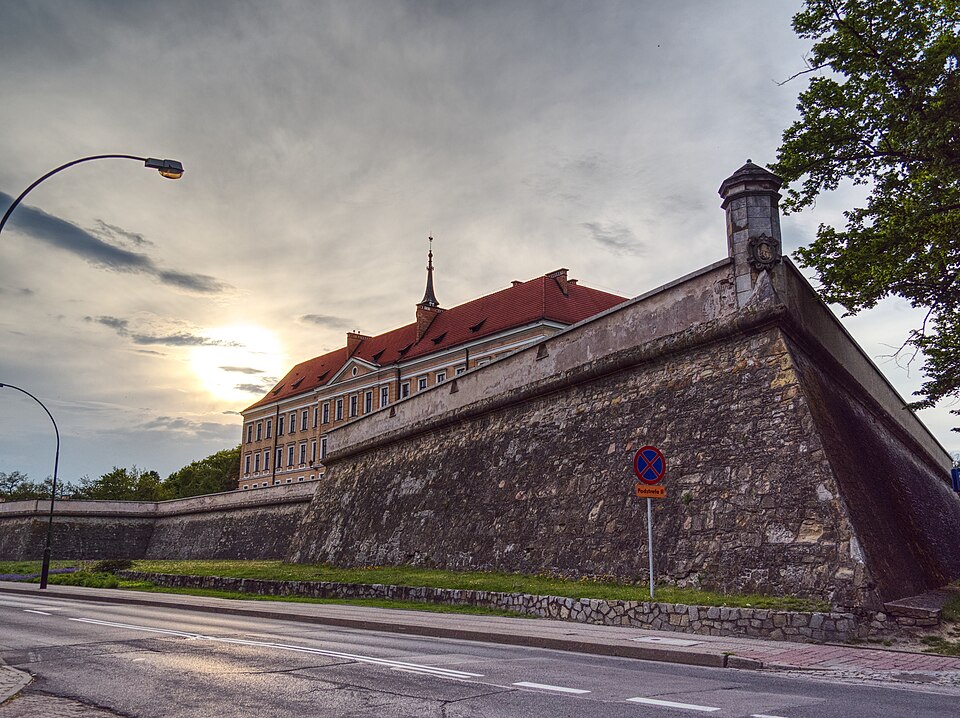
Zamek w Rzeszowie – czteroskrzydłowe założenie architektoniczne o przeznaczeniu biurowym zbudowane w latach 1902–1906 w obrębie bastionów z XVII–XVIII w. na miejscu zburzonego pałacu warownego Lubomirskich, jeden z głównych zabytków Rzeszowa. Przylega od południa do starej części miasta, położony pomiędzy aleją Pod Kasztanami, aleją Lubomirskich, ulicą Szopena, placem Śreniawitów oraz ulicą płk. Lisa-Kuli.
Text: Wikipedia: Zamek w Rzeszowie (opening paragraph, possibly shortened), licensed under CC BY-SA 4.0. Contributors are listed in the article history. This text may be redistributed under the same terms.
Description available only in the original language for now.
Coordinates
50.03248, 22.00059

Coordinates of the feature; for paths and areas, these mark the centre, not a shooting position.
Navigation and sources
Imported data, not yet checked by a person. © OpenStreetMap (ODbL)