Architecture · imported, unverified
Kiscelli Kastély
château
municipality and region not yet available · Hungary
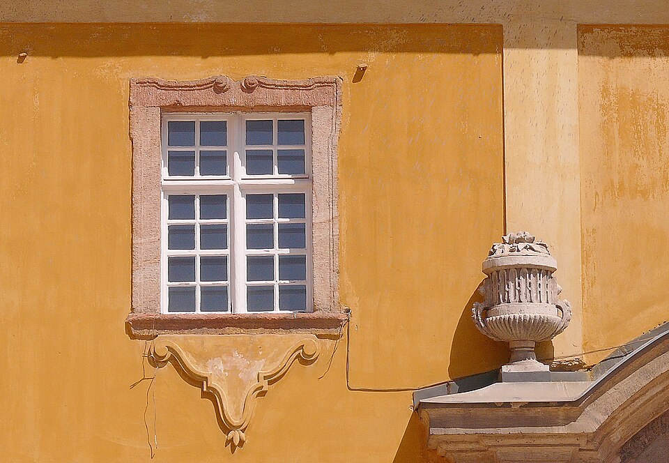
A kiscelli kastély és parkerdő Budapest III. kerületében, Óbuda és Remetehegy városrészek között (utóbbi délkeleti peremén), a Szent Margit Kórház és a Óbudai Egyetem mögötti területen található épületegyüttes, illetve a hozzá tartozó őspark. A 18. században, barokk stílusban épült templomot és trinitárius kolostort a 19. században a hadsereg használta.
Text: Wikipédia: Kiscelli kastély és parkerdő (opening paragraph, possibly shortened), licensed under CC BY-SA 4.0. Contributors are listed in the article history. This text may be redistributed under the same terms.
Description available only in the original language for now.
Coordinates
47.53812, 19.02802

Coordinates of the feature; for paths and areas, these mark the centre, not a shooting position.
Navigation and sources
Imported data, not yet checked by a person. © OpenStreetMap (ODbL)