Architecture · imported, unverified
Károlyi-palota
palace
municipality and region not yet available · Hungary
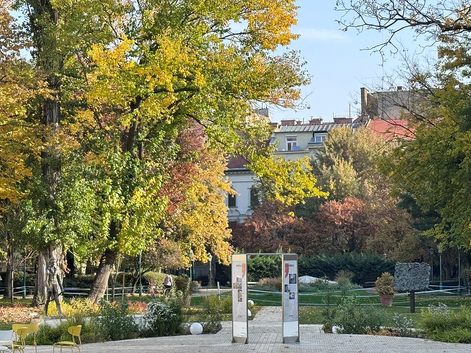
A Károlyi-palota egyemeletes klasszicista épület Budapest Belvárosában, a Károlyi utca 16. szám alatt. A mai palotát Károlyi György építtette az 1830-as években, jelenleg a Petőfi Irodalmi Múzeum (PIM) otthona. A palotához eredetileg hozzátartozó Károlyi-kert sokáig a palotától kerítéssel és kapukkal fizikailag is leválasztva, külön közparkként funkcionált.
Text: Wikipédia: Károlyi-palota (Belváros) (opening paragraph, possibly shortened), licensed under CC BY-SA 4.0. Contributors are listed in the article history. This text may be redistributed under the same terms.
Description available only in the original language for now.
Coordinates
47.49164, 19.05857

Coordinates of the feature; for paths and areas, these mark the centre, not a shooting position.
Navigation and sources
Imported data, not yet checked by a person. © OpenStreetMap (ODbL)