Architecture · imported, unverified
Pałac w Kurozwękach
palace
municipality and region not yet available · Poland
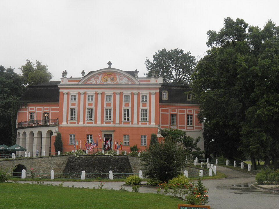
Pałac w Kurozwękach – zabytkowy pałac we wsi Kurozwęki. Pierwotnie zamek zbudowany w XIV w., przebudowa na pałac w drugiej połowie XVIII w. Z przebudowy wieży bramnej w latach 1768-72 powstało skrzydło pałacowe zwieńczone półkolistym szczytem (frontonem) z dwoma medalionmi zawierającymi herby Anny z Rawiczów Dembińskiej, która wyszła w 1752 za generała Macieja Sołtyka.
Text: Wikipedia: Pałac w Kurozwękach (opening paragraph, possibly shortened), licensed under CC BY-SA 4.0. Contributors are listed in the article history. This text may be redistributed under the same terms.
Description available only in the original language for now.
Coordinates
50.59719, 21.10068

Coordinates of the feature; for paths and areas, these mark the centre, not a shooting position.
Navigation and sources
Imported data, not yet checked by a person. © OpenStreetMap (ODbL)