Architecture · imported, unverified
Gyulai vár
castle
Gyula · Békés megye · Hungary
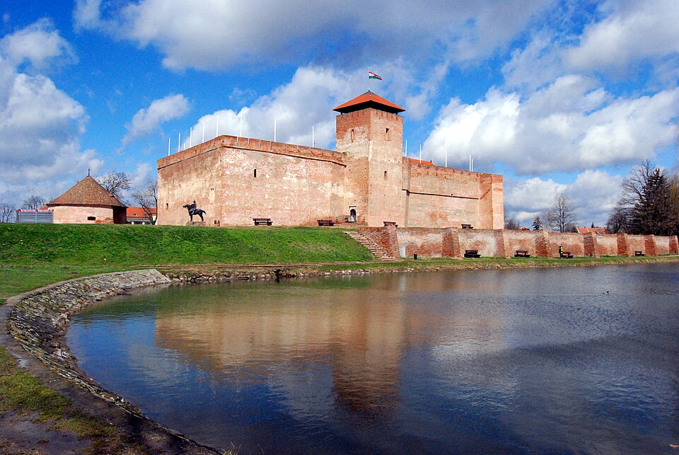
A late medieval lowland Gothic brick castle in the town of Gyula, next to Várkert. Its construction began in the early 15th century, and during the 16th century it served as an important border fortress.
Text: Wikipédia: Gyulai vár (opening paragraph, possibly shortened), licensed under CC BY-SA 4.0. Contributors are listed in the article history. This text may be redistributed under the same terms.
Description machine-translated from the original text; help us fix any mistakes. Report an error
Coordinates
46.64598, 21.28597

Coordinates of the feature; for paths and areas, these mark the centre, not a shooting position.
Navigation and sources
Imported data, not yet checked by a person. © OpenStreetMap (ODbL)