Architecture · imported, unverified
Fort 48a "Mistrzejowice"
fortress
municipality and region not yet available · Poland
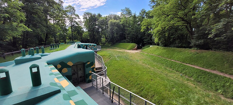
Fort pancerny pomocniczy 48a „Mistrzejowice” – fort składający się na Twierdzę Kraków. Powstał w latach 1895–1897. Jego zadaniem była boczna obrona doliny Dłubni oraz prawego międzypola fortu 48 Batowice. Po I wojnie światowej pełnił funkcję magazynu. Fort 48a Mistrzejowice zaprojektował Emil Gołogórski. Fort był zdewastowany i zaśmiecony. Znajduje się na Osiedlu Piastów w Krakowie.
Text: Wikipedia: Fort pancerny pomocniczy 48a „Mistrzejowice” (opening paragraph, possibly shortened), licensed under CC BY-SA 4.0. Contributors are listed in the article history. This text may be redistributed under the same terms.
Description available only in the original language for now.
Coordinates
50.10115, 20.01706

Coordinates of the feature; for paths and areas, these mark the centre, not a shooting position.
Navigation and sources
Imported data, not yet checked by a person. © OpenStreetMap (ODbL)