Towns, cities and streets · imported, unverified
Klatsmányi híd
bridge
municipality and region not yet available · Hungary
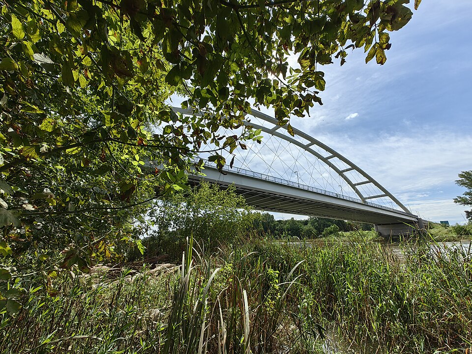
A Klatsmányi híd Győrött található, a Mosoni-Dunán ível át, nevét Klatsmányi Tiborról kapta. A 397,3 m hosszú hidat 2018 márciusában adták át. 2018-ban Tierney Clark-díjat kaptak az alkotói. Átadásakor az ország ötödik legnagyobb nyílású hídja volt.
Text: Wikipédia: Klatsmányi híd (opening paragraph, possibly shortened), licensed under CC BY-SA 4.0. Contributors are listed in the article history. This text may be redistributed under the same terms.
Description available only in the original language for now.
Coordinates
47.72672, 17.70166

Coordinates of the feature; for paths and areas, these mark the centre, not a shooting position.
Navigation and sources
Imported data, not yet checked by a person. © OpenStreetMap (ODbL)