Towns, cities and streets · imported, unverified
Kamenný most v Spišskom Hrhove
bridge
Spišský Hrhov · Prešovský kraj · Slovakia
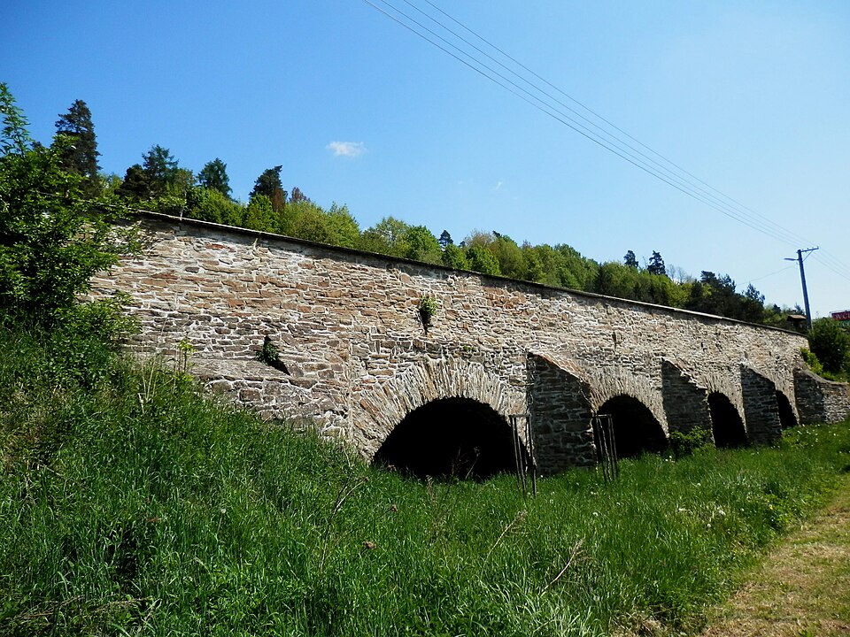
The stone bridge in Spišský Hrhov is a baroque bridge from 1670 located along the old road from Levoča to Spišské Podhradie. Spanning the Lodina stream, this four-arch bridge is 35 metres long and 10 metres wide with uniform segmental arches. Built from quarry stone and sandstone, its 2-metre-thick piers feature wedge-shaped icebreakers on the upstream side.
Text: Wikipédia: Kamenný most v Spišskom Hrhove (opening paragraph, possibly shortened), licensed under CC BY-SA 4.0. Contributors are listed in the article history. This text may be redistributed under the same terms.
Description machine-translated from the original text; help us fix any mistakes. Report an error
Coordinates
49.00245, 20.64171

Coordinates of the feature; for paths and areas, these mark the centre, not a shooting position.
Navigation and sources
Imported data, not yet checked by a person. © OpenStreetMap (ODbL)