Architecture · imported, unverified
Śluza Katedralna
fortress
municipality and region not yet available · Poland
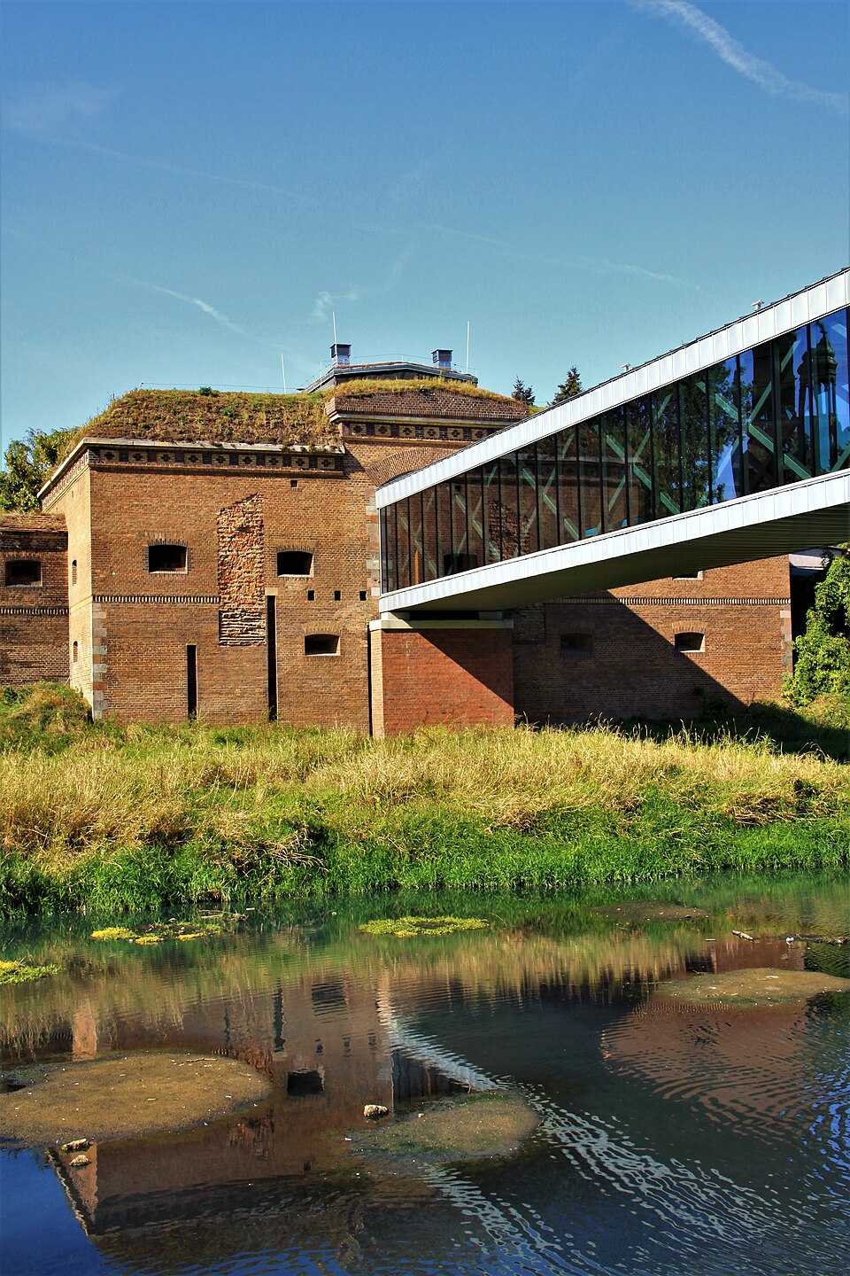
Śluza Katedralna (Jaz Katedralny, niem. Dom Schleuse) – ufortyfikowany obiekt hydrotechniczny Twierdzy Poznań wzniesiony nad rzeką Cybiną w latach 1834–1839, przebudowywany po połowie XIX wieku. Zachowany do dziś zabytkowy przyczółek zachodni, położony na Ostrowie Tumskim, wchodzi w skład kompleksu Bramy Poznania ICHOT oraz Traktu Królewsko-Cesarskiego w Poznaniu.
Text: Wikipedia: Śluza Katedralna (opening paragraph, possibly shortened), licensed under CC BY-SA 4.0. Contributors are listed in the article history. This text may be redistributed under the same terms.
Description available only in the original language for now.
Coordinates
52.41243, 16.95033

Coordinates of the feature; for paths and areas, these mark the centre, not a shooting position.
Navigation and sources
Imported data, not yet checked by a person. © OpenStreetMap (ODbL)