Architecture · imported, unverified
Zamek w Dzięgielowie
château
municipality and region not yet available · Poland
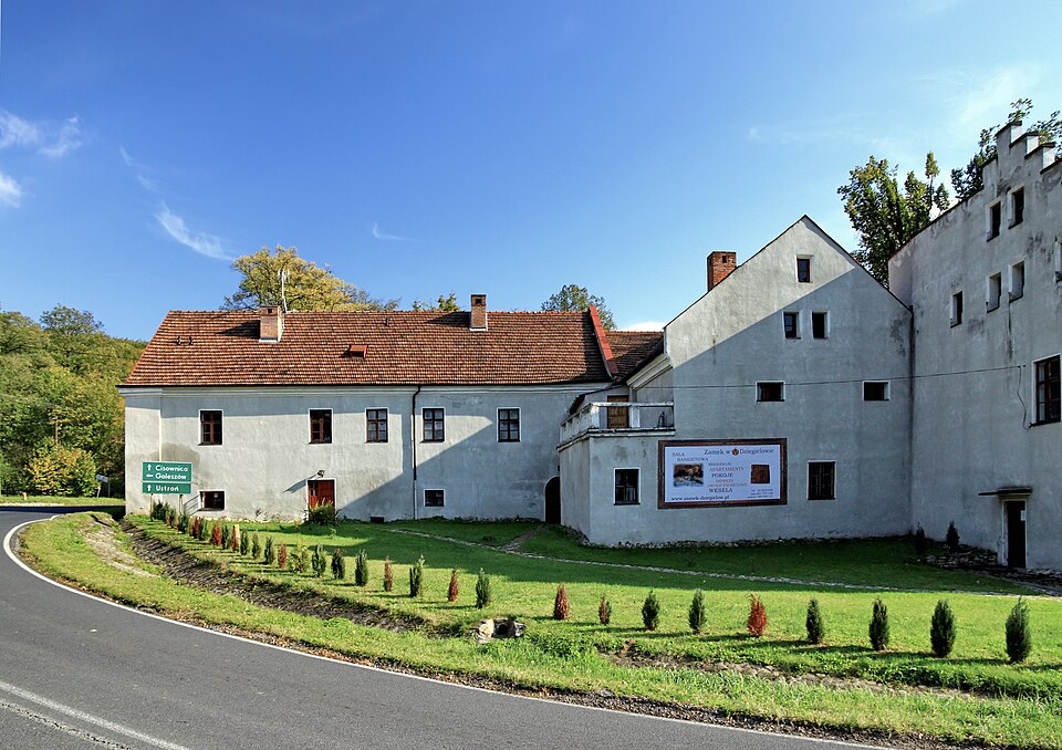
Zamek w Dzięgielowie – renesansowy dwór obronny lub inaczej zamek rycerski w Dzięgielowie, w powiecie cieszyńskim. Leży we wschodniej części wsi, nad potokiem Dzięgielówką, na skrzyżowaniu dróg z Cieszyna do Ustronia i z Goleszowa do Trzyńca.
Text: Wikipedia: Zamek w Dzięgielowie (opening paragraph, possibly shortened), licensed under CC BY-SA 4.0. Contributors are listed in the article history. This text may be redistributed under the same terms.
Description available only in the original language for now.
Coordinates
49.7159, 18.71802

Coordinates of the feature; for paths and areas, these mark the centre, not a shooting position.
Navigation and sources
Imported data, not yet checked by a person. © OpenStreetMap (ODbL)