Towns, cities and streets · imported, unverified
Petőfi híd
bridge
municipality and region not yet available · Hungary
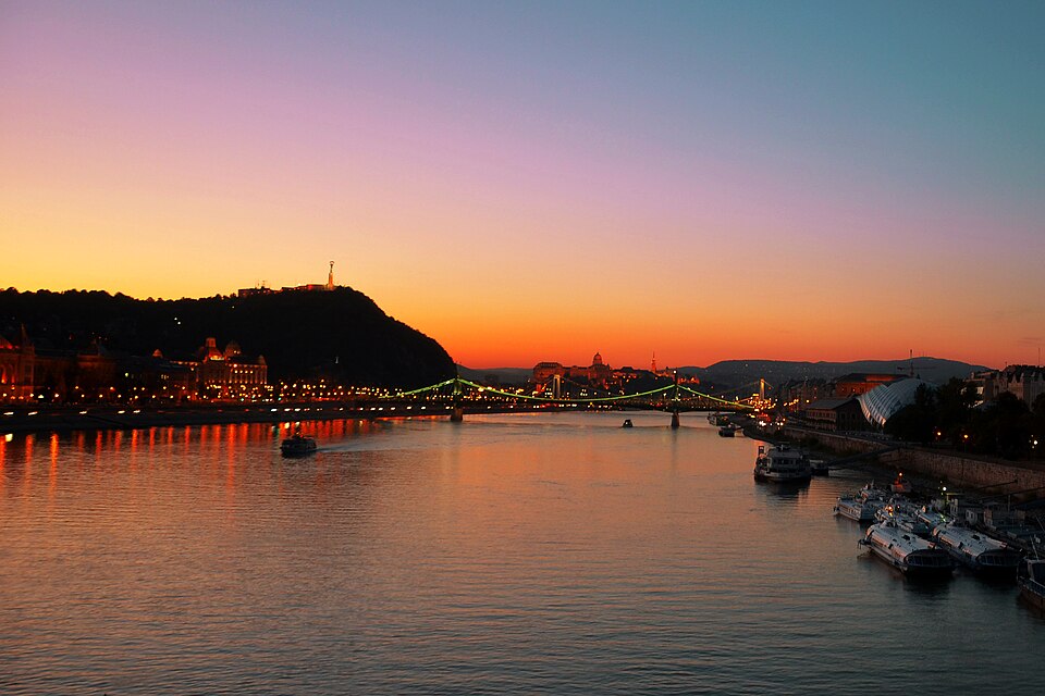
A Petőfi híd (1937-1945 között: Horthy Miklós híd) Budapest egyik Duna-hídja. 1933–1937 között építették, a pesti és budai körút déli szakaszainak villamos- és gépjárműforgalmát vezeti át a Duna felett. Hossza 378 m, feljárókkal együtt 514 m. Szélessége 25,6 m. A híd pesti oldalán található a Boráros tér (a Nagykörút déli végével, a H7-es HÉV végállomása), illetve a budai hídfőnél a Goldmann György tér.
Text: Wikipédia: Petőfi híd (opening paragraph, possibly shortened), licensed under CC BY-SA 4.0. Contributors are listed in the article history. This text may be redistributed under the same terms.
Description available only in the original language for now.
Coordinates
47.47891, 19.06355

Coordinates of the feature; for paths and areas, these mark the centre, not a shooting position.
Navigation and sources
Imported data, not yet checked by a person. © OpenStreetMap (ODbL)