Towns, cities and streets · imported, unverified
Nagy Rondella kaputornya
gate
municipality and region not yet available · Hungary
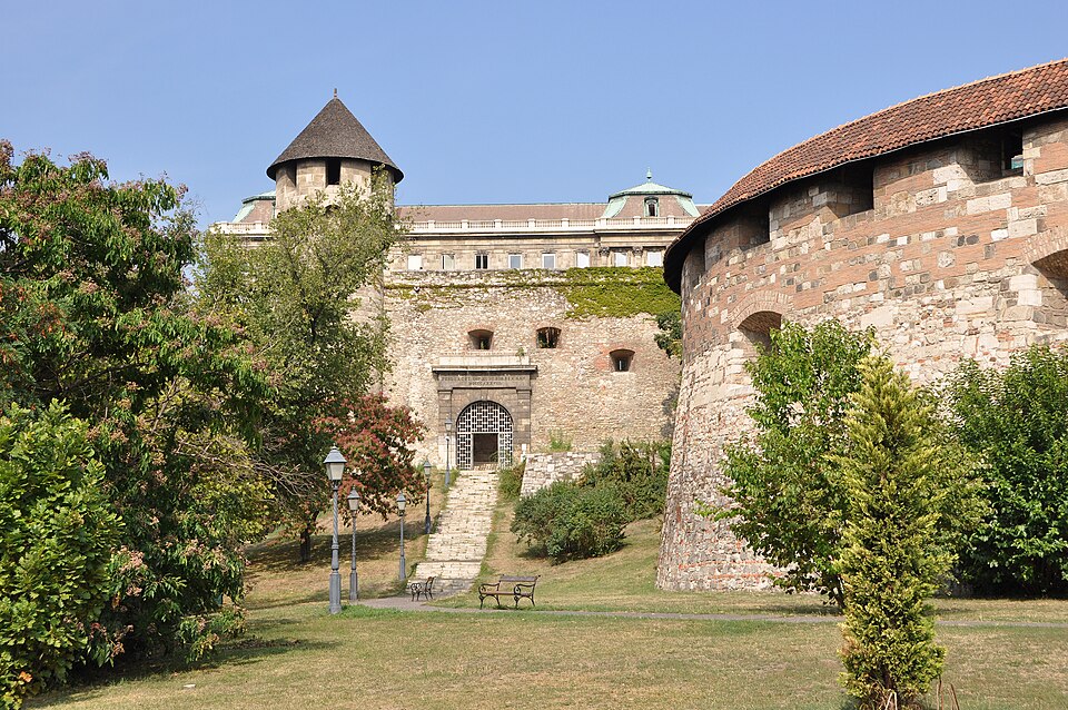
A budavári nagy rondella kör alakú bástya a budai Várhegy déli lejtőjén, a budai vár egykori védműrendszerének rekonstruált része. Középkori falainak kiásásával, konzerválásával és részleges kiegészítésével az 1950-es években állították helyre. Hozzáépített kaputornyával és a szomszédos Buzogánytoronnyal együtt azóta tartozik a budai városképhez.
Text: Wikipédia: Budavári nagy rondella (opening paragraph, possibly shortened), licensed under CC BY-SA 4.0. Contributors are listed in the article history. This text may be redistributed under the same terms.
Description available only in the original language for now.
Coordinates
47.49434, 19.04155

Coordinates of the feature; for paths and areas, these mark the centre, not a shooting position.
Navigation and sources
Imported data, not yet checked by a person. © OpenStreetMap (ODbL)