Towns, cities and streets · imported, unverified
Štefánikův most
bridge
Praha · Czech Republic
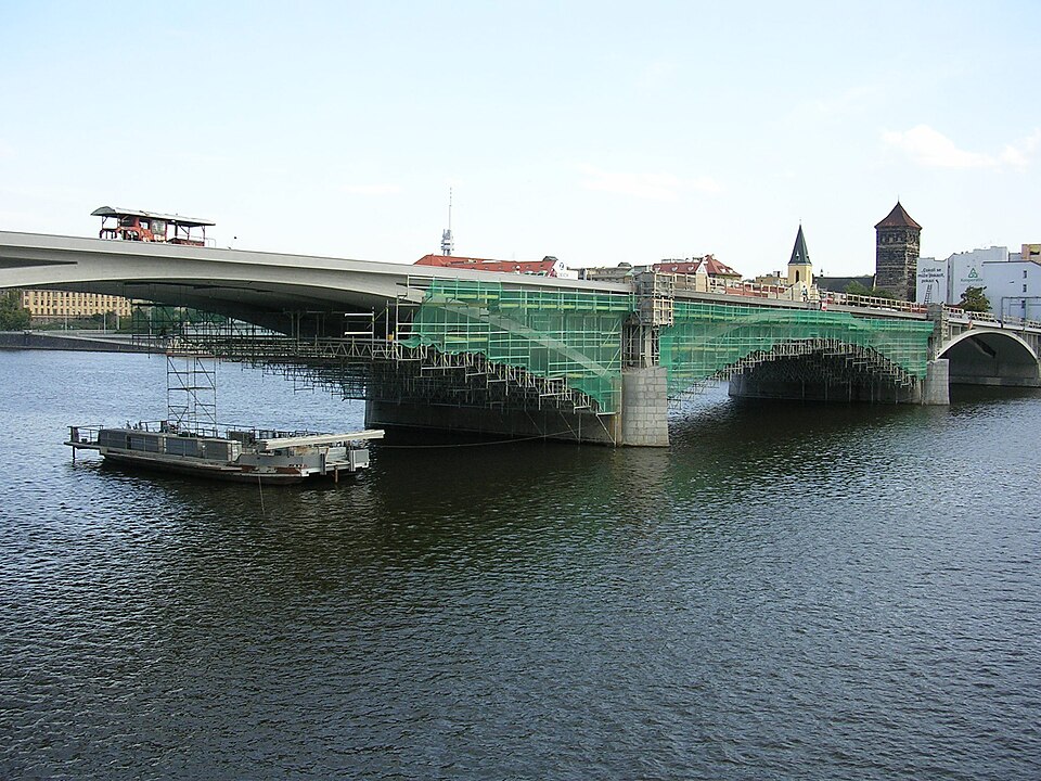
Štefánikův most is a road bridge carrying tram tracks over the Vltava in Prague. It connects Revoluční třída, which marks the border between Staré Město and Nové Město on the right bank, with Letenský tunel, nábřeží Edvarda Beneše, and nábřeží Kapitána Jaroše on the left bank.
Text: Wikipedie: Štefánikův most (opening paragraph, possibly shortened), licensed under CC BY-SA 4.0. Contributors are listed in the article history. This text may be redistributed under the same terms.
Description machine-translated from the original text; help us fix any mistakes. Report an error
Coordinates
50.09418, 14.42696

Coordinates of the feature; for paths and areas, these mark the centre, not a shooting position.
Navigation and sources
Imported data, not yet checked by a person. © OpenStreetMap (ODbL)