Architecture · imported, unverified
Ruiny Wielkiej Synagogi
ruins
municipality and region not yet available · Poland
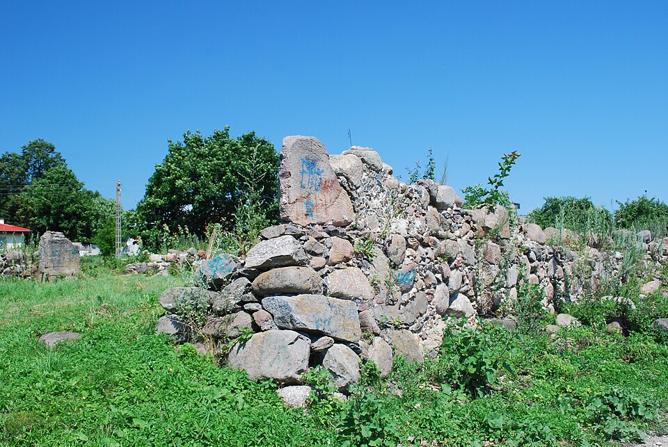
Wielka Synagoga w Krynkach – zbudowana w XIX w. na miejscu starej synagogi przy ulicy Garbarskiej 5. Podczas II wojny światowej hitlerowcy początkowo wykorzystywali synagogę jako magazyn wojskowy i warsztat remontowy czołgów, a w 1944 spalili synagogę i częściowo wysadzili. Budynek synagogi przetrwał, tylko bez dachu.
Text: Wikipedia: Wielka Synagoga w Krynkach (opening paragraph, possibly shortened), licensed under CC BY-SA 4.0. Contributors are listed in the article history. This text may be redistributed under the same terms.
Description available only in the original language for now.
Coordinates
53.26295, 23.77363

Coordinates of the feature; for paths and areas, these mark the centre, not a shooting position.
Navigation and sources
Imported data, not yet checked by a person. © OpenStreetMap (ODbL)