Industrial sites · imported, unverified
Port morski Hel
municipality and region not yet available · Poland
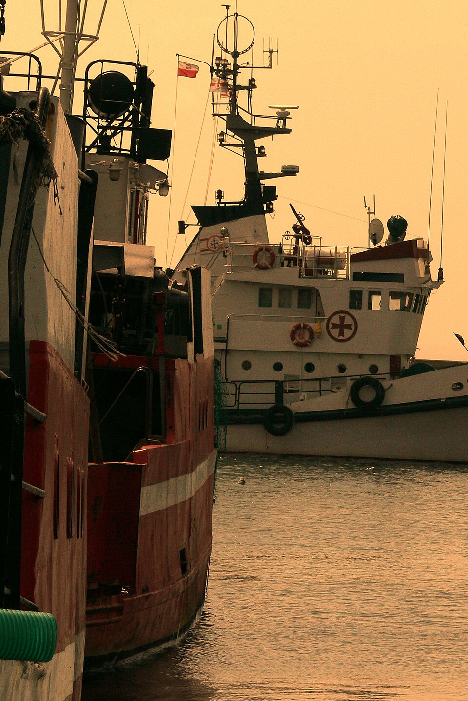
Port morski Hel – cywilny port morski nad Morzem Bałtyckim, w południowej części Mierzei Helskiej, położony w woj. pomorskim, w powiecie puckim, w Helu. Port stanowi bazę dla floty rybackiej i żeglugi turystycznej. Znajduje się tutaj przystań rybacka, jachtowa, pasażerska, a także morskie przejście graniczne, przez które odbywa się ruch osobowy i towarowy. Obsługuje je placówka Straży Granicznej z Władysławowa.
Text: Wikipedia: Port morski Hel (opening paragraph, possibly shortened), licensed under CC BY-SA 4.0. Contributors are listed in the article history. This text may be redistributed under the same terms.
Description available only in the original language for now.
Coordinates
54.6014, 18.80292

Coordinates of the feature; for paths and areas, these mark the centre, not a shooting position.
Navigation and sources
Imported data, not yet checked by a person. © OpenStreetMap (ODbL)