Architecture · imported, unverified
Kościół pw. Chrystusa Króla
church
Olsztyn · województwo warmińsko-mazurskie · Poland
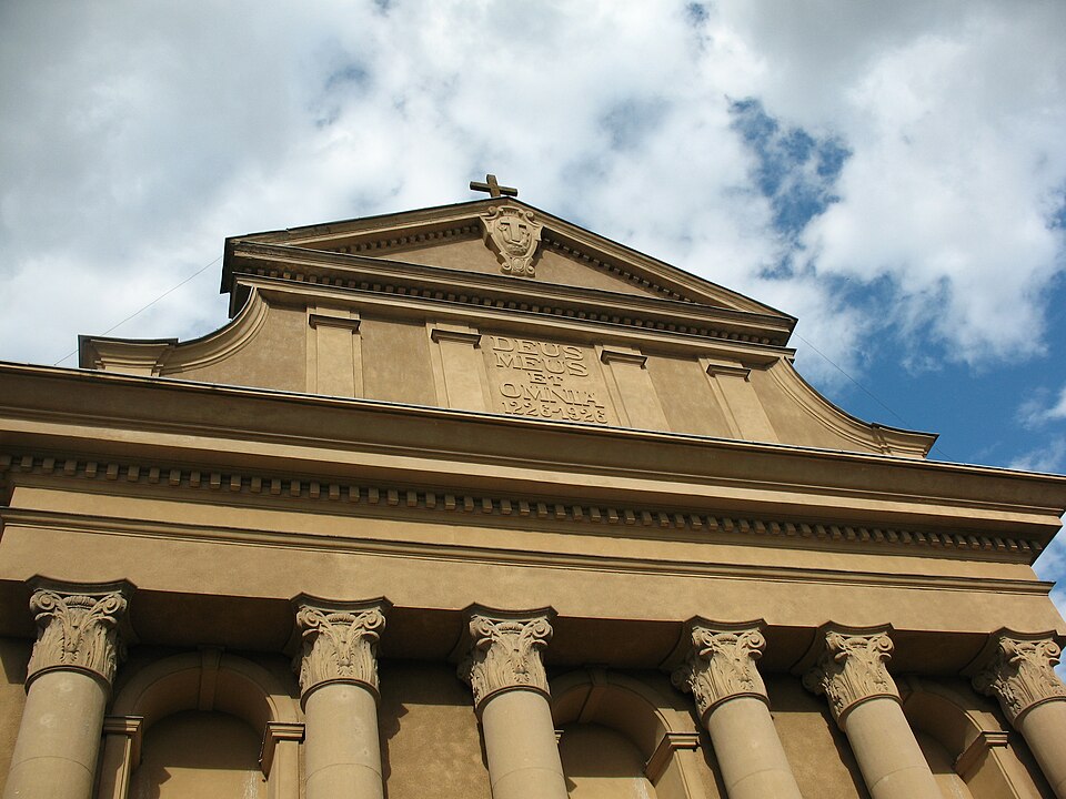
Kościół Chrystusa Króla in Olsztyn was established to mark the 700th anniversary of the death of Saint Francis. The building was constructed in 1926–1927 in Italian Renaissance style. It has belonged to the Franciscan order since its founding. A hospital previously operated alongside the parish; its building now serves as a monastery.
Text: Wikipedia: Kościół Chrystusa Króla w Olsztynie (opening paragraph, possibly shortened), licensed under CC BY-SA 4.0. Contributors are listed in the article history. This text may be redistributed under the same terms.
Description machine-translated from the original text; help us fix any mistakes. Report an error
Coordinates
53.78439, 20.48509

Coordinates of the feature; for paths and areas, these mark the centre, not a shooting position.
Navigation and sources
Imported data, not yet checked by a person. © OpenStreetMap (ODbL)