Towns, cities and streets · imported, unverified
Nuselský most
bridge
Praha · Czech Republic
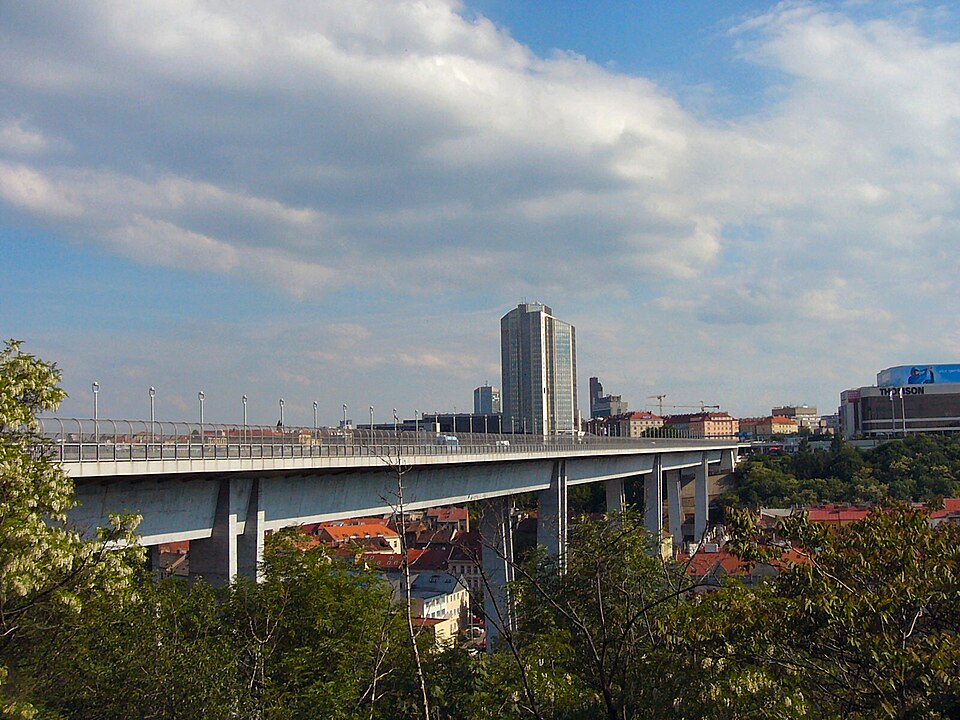
Nuselský most (between 1975–1989 most Klementa Gottwalda; colloquially Nuselák) is a prestressed concrete bridge in Prague. It spans Nuselské údolí, connecting Pankrác and southeastern districts with Karlov in Prague 2 and the city center. It carries a six-lane north-south arterial road and two walkways, housing a metro tube inside. Completed in 1973.
Text: Wikipedie: Nuselský most (opening paragraph, possibly shortened), licensed under CC BY-SA 4.0. Contributors are listed in the article history. This text may be redistributed under the same terms.
Description machine-translated from the original text; help us fix any mistakes. Report an error
Coordinates
50.06562, 14.43052

Coordinates of the feature; for paths and areas, these mark the centre, not a shooting position.
Navigation and sources
Imported data, not yet checked by a person. © OpenStreetMap (ODbL)