Architecture · imported, unverified
Zespół dawnej huty Józef
ruins
municipality and region not yet available · Poland
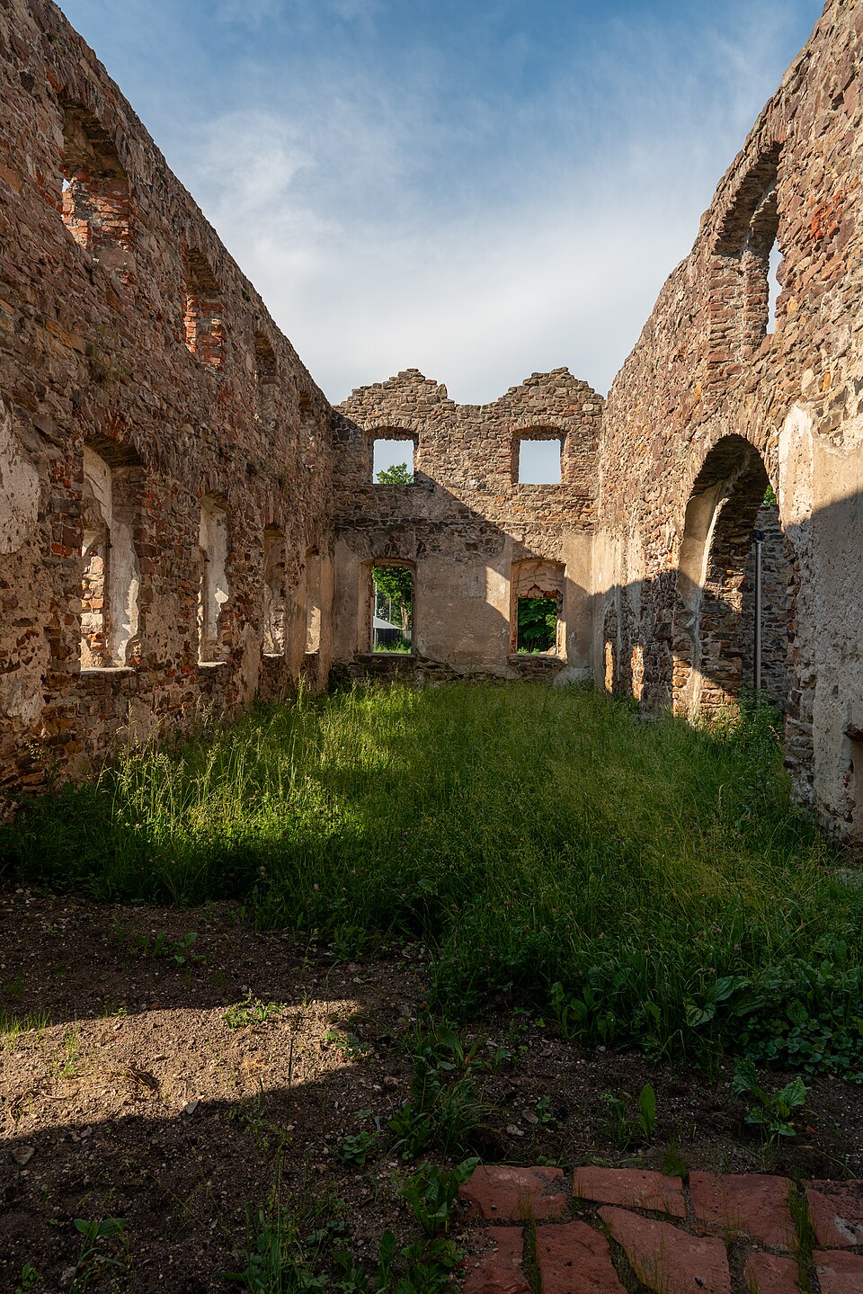
Huta Józef – huta znajdująca się w Samsonowie, działająca w latach 1818–1866. W 1817 Stanisław Staszic wystąpił z inicjatywą wybudowania nowej huty w Samsonowie. Kamień węgielny w 1818 położył namiestnik Królestwa Polskiego książę gen. Józef Zajączek, toteż nazwano ją hutą „Józefa”. Budowali ją specjaliści saksońscy pod nadzorem Bogumiła Schmidta i Fryderyka Lampe na wzór huty w Pankach koło Częstochowy.
Text: Wikipedia: Huta Józef (opening paragraph, possibly shortened), licensed under CC BY-SA 4.0. Contributors are listed in the article history. This text may be redistributed under the same terms.
Description available only in the original language for now.
Coordinates
50.99126, 20.61495

Coordinates of the feature; for paths and areas, these mark the centre, not a shooting position.
Navigation and sources
Imported data, not yet checked by a person. © OpenStreetMap (ODbL)