Towns, cities and streets · imported, unverified
Árpád híd
bridge
municipality and region not yet available · Hungary
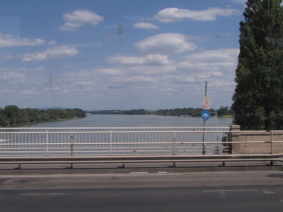
Az Árpád híd Budapest egyik közúti Duna-hídja Budapest III. kerülete és Budapest XIII. kerülete között. A Megyeri híd 2008-as átadásáig a főváros leghosszabb hídja és legészakibb közúti hídja volt. Egyik különlegessége, hogy az eredetileg átadott híd bővítését úgy oldották meg, hogy két oldalt 1-1 új hidat építettek mellé, azaz az Árpád híd voltaképp három párhuzamos, egymással összekapcsolódó hídszerkezetből áll.
Text: Wikipédia: Árpád híd (Budapest) (opening paragraph, possibly shortened), licensed under CC BY-SA 4.0. Contributors are listed in the article history. This text may be redistributed under the same terms.
Description available only in the original language for now.
Coordinates
47.53782, 19.05256

Coordinates of the feature; for paths and areas, these mark the centre, not a shooting position.
Navigation and sources
Imported data, not yet checked by a person. © OpenStreetMap (ODbL)