Architecture · imported, unverified
Szabadság híd
bridge
Budapest · Hungary
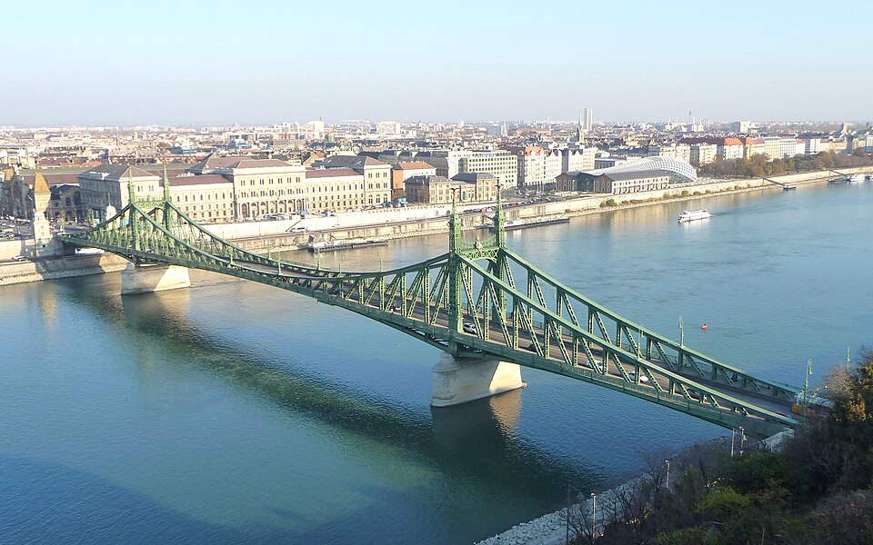
A steel truss bridge with Art Nouveau decorations over the Danube, connecting Szent Gellért tér and Fővám tér. Built between 1894 and 1896 to designs by János Feketeházy, it is 333.6 meters long and 20.1 meters wide.
Text: Wikipédia: Szabadság híd (opening paragraph, possibly shortened), licensed under CC BY-SA 4.0. Contributors are listed in the article history. This text may be redistributed under the same terms.
Description machine-translated from the original text; help us fix any mistakes. Report an error
Coordinates
47.48556, 19.055

Coordinates of the feature; for paths and areas, these mark the centre, not a shooting position.
Navigation and sources
Imported data, not yet checked by a person. © OpenStreetMap (ODbL)