Architecture · imported, unverified
Zamek Królewski w Dobczycach
château
municipality and region not yet available · Poland
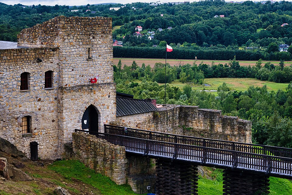
Zamek królewski w Dobczycach – położony na skalistym wzgórzu nad Rabą, a ściślej nad Jeziorem Dobczyckim powstałym ze spiętrzenia jej wód. Zapora jeziora wsparta jest o wzgórze zamkowe. Zamek królewski położony był w drugiej połowie XVI wieku w powiecie szczyrzyckim województwa krakowskiego.
Text: Wikipedia: Zamek w Dobczycach (opening paragraph, possibly shortened), licensed under CC BY-SA 4.0. Contributors are listed in the article history. This text may be redistributed under the same terms.
Description available only in the original language for now.
Coordinates
49.87699, 20.08495

Coordinates of the feature; for paths and areas, these mark the centre, not a shooting position.
Navigation and sources
Imported data, not yet checked by a person. © OpenStreetMap (ODbL)