Architecture · imported, unverified
Kula-torony
tower
municipality and region not yet available · Hungary
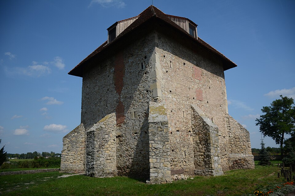
A Kula-vár vagy Kula-torony kőből épült, 14. század környéki őrtorony Szabadbattyán településen, a 6307-es út közelében. A középkor folyamán ezen a vidéken áthatolhatatlan, ingoványos területet borított el a Sárvíz folyó, melynek egyetlen természetes átkelőhelyét a Szabadbattyán települése melletti gázló alkotta; a tornyot ennek védelmére emelték.
Text: Wikipédia: Kula-vár (opening paragraph, possibly shortened), licensed under CC BY-SA 4.0. Contributors are listed in the article history. This text may be redistributed under the same terms.
Description available only in the original language for now.
Coordinates
47.12114, 18.37642

Coordinates of the feature; for paths and areas, these mark the centre, not a shooting position.
Navigation and sources
Imported data, not yet checked by a person. © OpenStreetMap (ODbL)