Architecture · imported, unverified
Fort 49½ a "Mogiła"
fortress
municipality and region not yet available · Poland
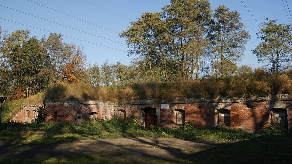
Fort międzypolowy piechoty 49½a Mogiła – zabytkowa budowla, jeden z obiektów austriackiej Twierdzy Kraków. Znajduje się we wschodniej części Krakowa, w Dzielnicy XVIII, przy ul. Igołomskiej na terenie dawnej wsi Mogiła, ok. 500 metrów na południowy wschód od Kopca Wandy, obok przystanku tramwajowego MPK Fort Mogiła.
Text: Wikipedia: Fort pomocniczy piechoty 49 ½ a „Mogiła” (opening paragraph, possibly shortened), licensed under CC BY-SA 4.0. Contributors are listed in the article history. This text may be redistributed under the same terms.
Description available only in the original language for now.
Coordinates
50.06691, 20.07307

Coordinates of the feature; for paths and areas, these mark the centre, not a shooting position.
Navigation and sources
Imported data, not yet checked by a person. © OpenStreetMap (ODbL)