Towns, cities and streets · imported, unverified
Most Retmański
bridge
municipality and region not yet available · Poland
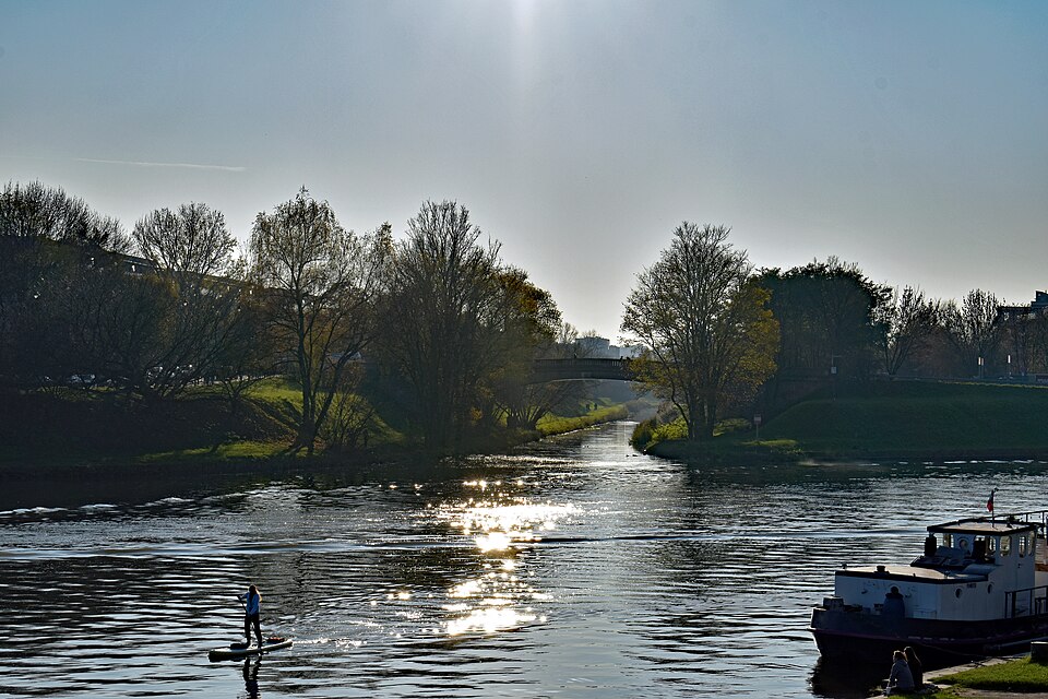
Most Retmański – zabytkowy kamienny most w Krakowie w dzielnicy XIII, na Ludwinowie nad rzeką Wilgą, przy jej ujściu do Wisły. Łączy ulicę Ludwinowską z ulicą Jana Długosza, łącząc Bulwar Wołyński z Bulwarem Podolskim. Most ten jest jedynym nieleżącym nad Wisłą oficjalnie nazwanym mostem w Krakowie. Został zbudowany w 1938 roku jako element niezrealizowanego kanału Śląsk – Kraków.
Text: Wikipedia: Most Retmański w Krakowie (opening paragraph, possibly shortened), licensed under CC BY-SA 4.0. Contributors are listed in the article history. This text may be redistributed under the same terms.
Description available only in the original language for now.
Coordinates
50.04389, 19.94059

Coordinates of the feature; for paths and areas, these mark the centre, not a shooting position.
Navigation and sources
Imported data, not yet checked by a person. © OpenStreetMap (ODbL)