Architecture · imported, unverified
Cerkiew św. Paraskewy w Radrużu
church
Radruż · województwo podkarpackie · Poland
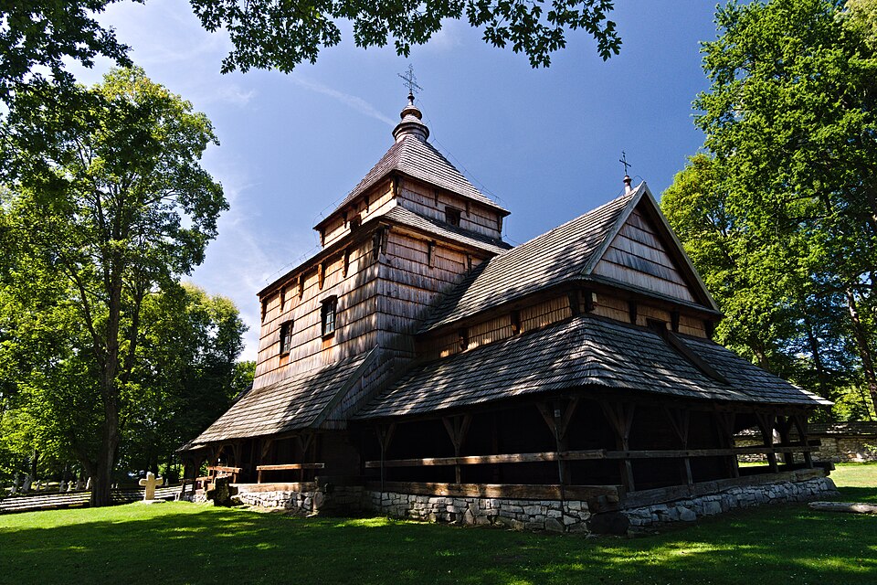
Historic wooden church of log construction from the end of the sixteenth century, which once also served defensive functions. Together with the belfry and wall, it is inscribed on the UNESCO list.
Text: Wikipedia: Cerkiew św. Paraskewy w Radrużu (opening paragraph, possibly shortened), licensed under CC BY-SA 4.0. Contributors are listed in the article history. This text may be redistributed under the same terms.
Description machine-translated from the original text; help us fix any mistakes. Report an error
Coordinates
50.17666, 23.40158

Coordinates of the feature; for paths and areas, these mark the centre, not a shooting position.
Navigation and sources
Imported data, not yet checked by a person. © OpenStreetMap (ODbL)