Architecture · imported, unverified
Fasori református templom
church
municipality and region not yet available · Hungary
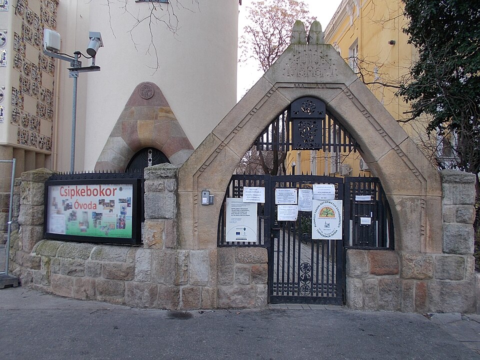
A fasori református templom és a hozzá kapcsolódó paplak (parókia) Budapest VII. kerületében a Városligeti fasor délkeleti oldalán áll, tervezője Árkay Aladár. A telket az utcától terméskő-fém anyagú, két részből álló kerítés választja el, amelynek szakaszai ívesen kanyarodnak be a közvetlenül a járdára nyíló főhomlokzathoz.
Text: Wikipédia: Fasori református templom (opening paragraph, possibly shortened), licensed under CC BY-SA 4.0. Contributors are listed in the article history. This text may be redistributed under the same terms.
Description available only in the original language for now.
Coordinates
47.50757, 19.0737

Coordinates of the feature; for paths and areas, these mark the centre, not a shooting position.
Navigation and sources
Imported data, not yet checked by a person. © OpenStreetMap (ODbL)