Landscapes and viewpoints · imported, unverified
Baszta Halszki z ok. 1518 r.
tower
municipality and region not yet available · Poland
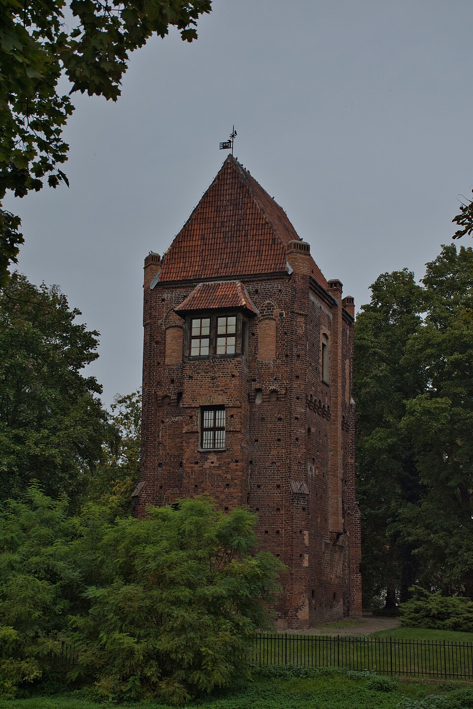
Baszta Halszki – późnogotycka wieża mieszkalna, zwana także Wieżą czarnej księżniczki, pozostałość dawnego systemu obronnego zamku w Szamotułach. W jego skład wchodziły ponadto narożnikowe baszty obronne połączone murem oraz zachowana od strony wschodniej i południowej fosa. Zbudowana jest na planie prostokąta, ma cztery kondygnacyjne. Wzniesiono ją w XV wieku jako budowlę obronną i około 1518 r.
Text: Wikipedia: Baszta Halszki (opening paragraph, possibly shortened), licensed under CC BY-SA 4.0. Contributors are listed in the article history. This text may be redistributed under the same terms.
Description available only in the original language for now.
Coordinates
52.61471, 16.57697

Coordinates of the feature; for paths and areas, these mark the centre, not a shooting position.
Navigation and sources
Imported data, not yet checked by a person. © OpenStreetMap (ODbL)