Architecture · imported, unverified
Magyar Szentföld-templom
church
municipality and region not yet available · Hungary
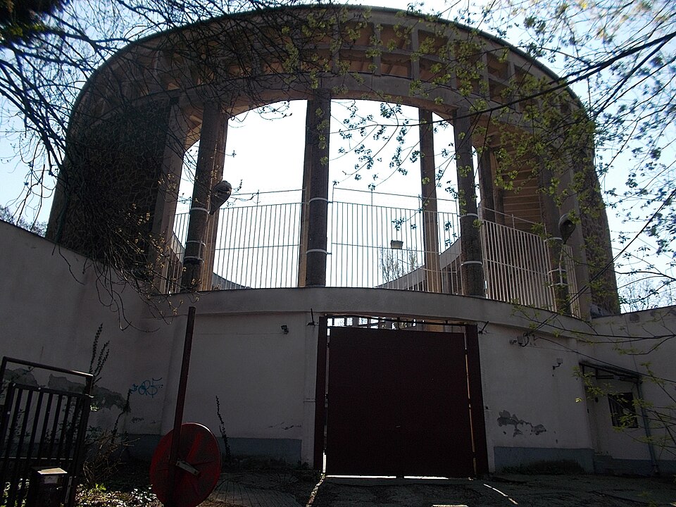
A Magyar Szentföld-templom egy templomtorzó, melyet Majsai János Mór ferences atya kezdeményezésére részben Bauhaus, részben bizánci stílusban Molnár Farkas tervezett, és amelyet a ferences szerzetesrend beruházásában kezdtek építeni 1940-ben. Befejezéséhez nem sok hiányzott volna, de a munkákat 1949-ben leállíttatták, a tetőszerkezet már elkészült részeit is visszabontatták.
Text: Wikipédia: Magyar Szentföld-templom (opening paragraph, possibly shortened), licensed under CC BY-SA 4.0. Contributors are listed in the article history. This text may be redistributed under the same terms.
Description available only in the original language for now.
Coordinates
47.53828, 18.96951

Coordinates of the feature; for paths and areas, these mark the centre, not a shooting position.
Navigation and sources
Imported data, not yet checked by a person. © OpenStreetMap (ODbL)