Water · imported, unverified
Žermanická přehrada
reservoir
Lučina · Moravskoslezský kraj · Czech Republic
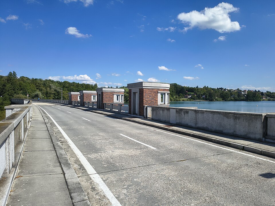
Žermanická přehrada is a reservoir on the Lučina River near Žermanice, built between 1951 and 1958 to supply Ostrava's industry with industrial water. The dam used 116,600 m³ of concrete, measures 314 m in length and 38 m in height. The water surface covers 248 ha, total volume is 25,300,000 m³, and maximum depth is 28 m. The villages Horní and Dolní Soběšovice were flooded.
Text: Wikipedie: Žermanická přehrada (opening paragraph, possibly shortened), licensed under CC BY-SA 4.0. Contributors are listed in the article history. This text may be redistributed under the same terms.
Description machine-translated from the original text; help us fix any mistakes. Report an error
Coordinates
49.71937, 18.46091

Coordinates of the feature; for paths and areas, these mark the centre, not a shooting position.
Navigation and sources
Imported data, not yet checked by a person. © OpenStreetMap (ODbL)