Architecture · imported, unverified
Zámek Slatiňany
château
Slatiňany · Pardubický kraj · Czech Republic
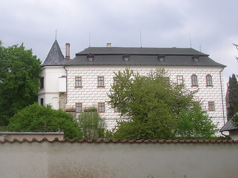
Zámek Slatiňany is one of the 20 national cultural monuments of Pardubický kraj and the most significant building in the town of Slatiňany in the Chrudim district. Together with its extensive park and garden, it lies on the west side of town, separated from the centre by the Chrudimka river. It features a three-wing U-shaped plan opening to the north, with an additional wing extending westwards from the northwest side.
Text: Wikipedie: Slatiňany (zámek) (opening paragraph, possibly shortened), licensed under CC BY-SA 4.0. Contributors are listed in the article history. This text may be redistributed under the same terms.
Description machine-translated from the original text; help us fix any mistakes. Report an error
Coordinates
49.9193, 15.81089

Coordinates of the feature; for paths and areas, these mark the centre, not a shooting position.
Navigation and sources
Imported data, not yet checked by a person. © OpenStreetMap (ODbL)