Architecture · imported, unverified
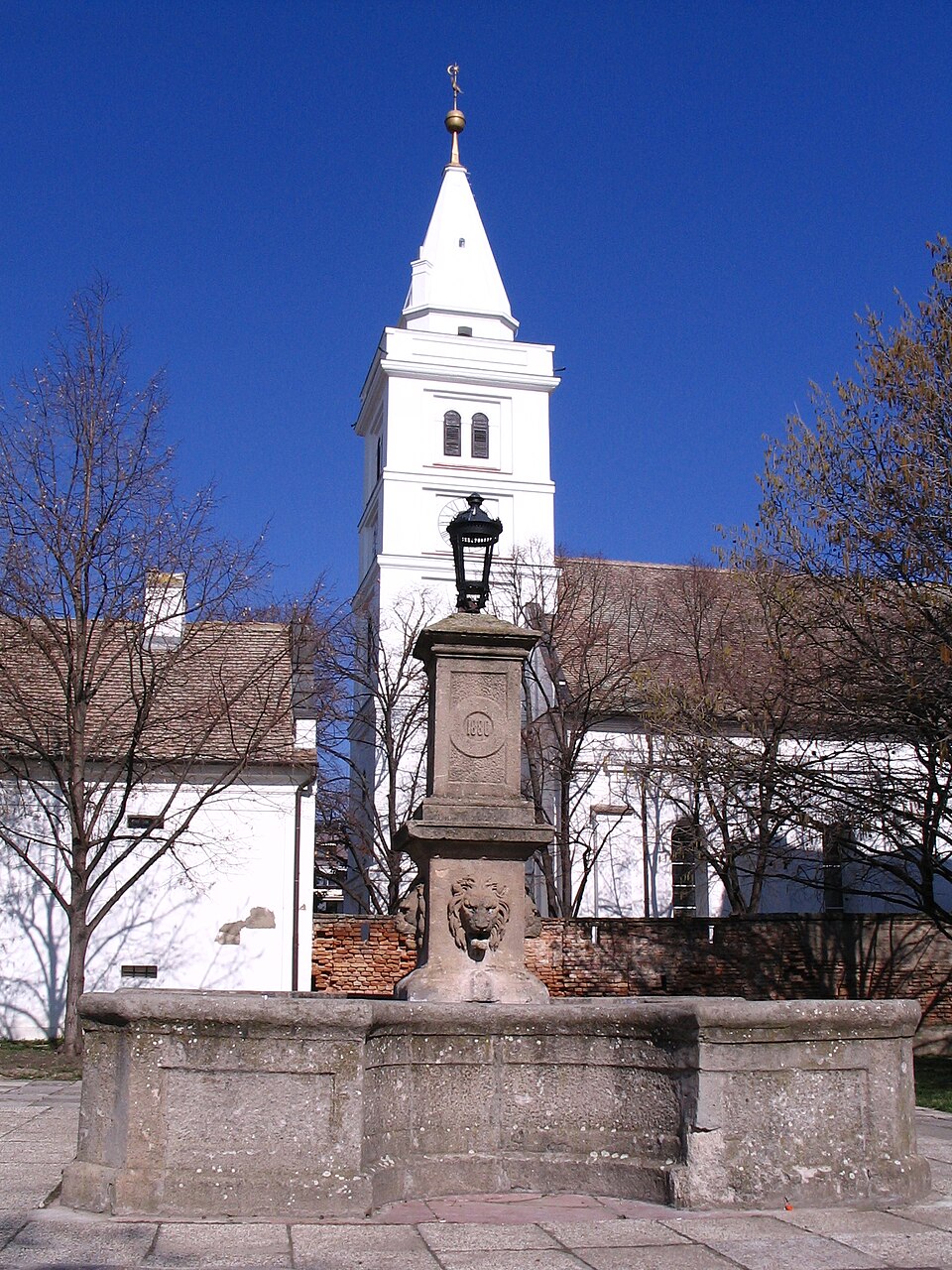
Református ótemplom
church
municipality and region not yet available · Hungary
A Bethlen Gábor Református Gimnázium és Szathmáry Kollégium Hódmezővásárhely iskolája. Valószínűleg már a XVI. században is működött a Debreceni Református Kollégium partikulájaként, azonban 1723-ban szerkesztették meg a vásárhelyi református iskola törvényeit, ettől kezdve dokumentáltan folyamatosan működik. Mai műemlék főépülete Sándy Gyula tervei alapján 1896-ban épült, neogótikus stílusban.
Text: Wikipédia: Bethlen Gábor Református Gimnázium (opening paragraph, possibly shortened), licensed under CC BY-SA 4.0. Contributors are listed in the article history. This text may be redistributed under the same terms.
Description available only in the original language for now.
Coordinates
46.41401, 20.31883

Coordinates of the feature; for paths and areas, these mark the centre, not a shooting position.
Navigation and sources
Imported data, not yet checked by a person. © OpenStreetMap (ODbL)