Architecture · imported, unverified
Református templom
church
municipality and region not yet available · Hungary
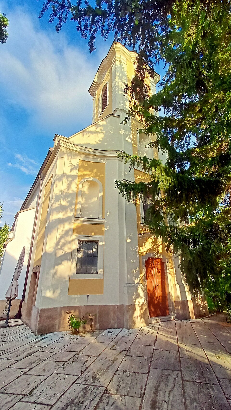
A református templom Szentendre város egyetlen kálvinista temploma. Még szerb ortodoxok építették a 18. században, csak 1913-ban vásárolta meg a templomot a református egyház. Az épület védett műemlék. 2009 és 2011 között teljesen felújították. Vasárnaponként két istentiszteletet tartanak a templomban: reggel 8 és délelőtt 10 órakor.
Text: Wikipédia: Református templom (Szentendre) (opening paragraph, possibly shortened), licensed under CC BY-SA 4.0. Contributors are listed in the article history. This text may be redistributed under the same terms.
Description available only in the original language for now.
Coordinates
47.66859, 19.07365

Coordinates of the feature; for paths and areas, these mark the centre, not a shooting position.
Navigation and sources
Imported data, not yet checked by a person. © OpenStreetMap (ODbL)