Landscapes and viewpoints · imported, unverified
Bolfánek
tower
Chudenice · Plzeňský kraj · Czech Republic
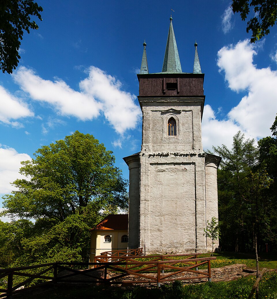
A 45-meter-high tower of the former Baroque pilgrimage church of St. Wolfgang, built in the first half of the 18th century by the Czernin architect F. M. Kaňka.
Description machine-translated from the original text; help us fix any mistakes. Report an error
Coordinates
49.45961, 13.16264

Coordinates of the feature; for paths and areas, these mark the centre, not a shooting position.
Navigation and sources
Imported data, not yet checked by a person. © OpenStreetMap (ODbL)