Architecture · imported, unverified
Ruiny fortu 47½ "Sudół"
ruins
municipality and region not yet available · Poland
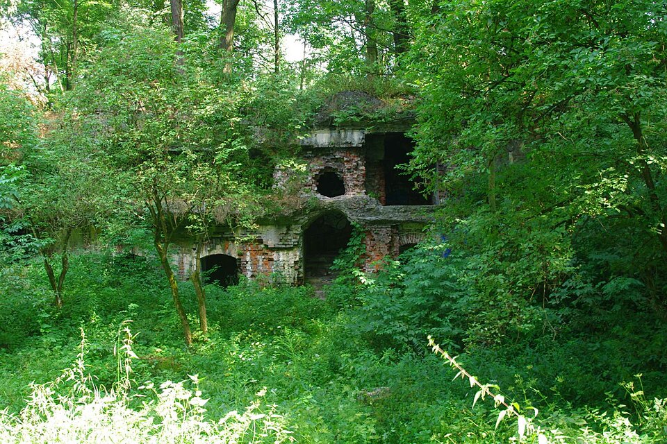
Fort 47 ½ Sudół – jeden z fortów Twierdzy Kraków. Powstał w latach 1895–1897. Blokował dolinę Sudołu Dominikańskiego, znajdującą się między górującymi pozycjami Fortu 47 Łysa Góra, Fortu 47a „Węgrzce”, Fortu 48 „Batowice” i Fortu 48a „Mistrzejowice”. Był to mały, międzypolowy fort pancerny, jeden z najmniejszych fortów tego typu w Twierdzy Kraków. Fort Sudół miał nietypową konstrukcję koszar szyjowych.
Text: Wikipedia: Fort pancerny pomocniczy 47 ½ „Sudół” (opening paragraph, possibly shortened), licensed under CC BY-SA 4.0. Contributors are listed in the article history. This text may be redistributed under the same terms.
Description available only in the original language for now.
Coordinates
50.10321, 19.98539

Coordinates of the feature; for paths and areas, these mark the centre, not a shooting position.
Navigation and sources
Imported data, not yet checked by a person. © OpenStreetMap (ODbL)