Industrial sites · imported, unverified
Wiatrak z Dębna (1880 r.)
mill
municipality and region not yet available · Poland
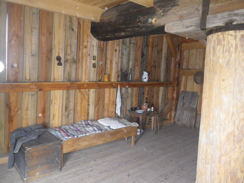
Windmill.
Brief information compiled from OpenStreetMap (ODbL) and Wikidata (CC0) data.
Description machine-translated from the original text; help us fix any mistakes. Report an error
Coordinates
50.7644, 20.43524

Coordinates of the feature; for paths and areas, these mark the centre, not a shooting position.
Navigation and sources
Imported data, not yet checked by a person. © OpenStreetMap (ODbL)