Towns, cities and streets · imported, unverified
Most Łazienkowski
bridge
municipality and region not yet available · Poland
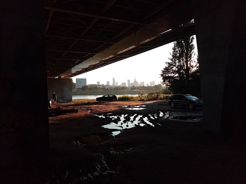
Most Łazienkowski (w latach 1981–1998 most im. gen. Zygmunta Berlinga) – most na Wiśle w Warszawie zbudowany w latach 1971–1974. Stanowi część Trasy Łazienkowskiej. Od 14 lutego 2015 do 28 października 2015 most był wyłączony z eksploatacji z powodu pożaru, który uszkodził jego konstrukcję.
Text: Wikipedia: Most Łazienkowski (opening paragraph, possibly shortened), licensed under CC BY-SA 4.0. Contributors are listed in the article history. This text may be redistributed under the same terms.
Description available only in the original language for now.
Coordinates
52.22535, 21.0492

Coordinates of the feature; for paths and areas, these mark the centre, not a shooting position.
Navigation and sources
Imported data, not yet checked by a person. © OpenStreetMap (ODbL)