Rock formations and nature · imported, unverified
Wąwóz Korzeniowy Dół
Kazimierz Dolny · województwo lubelskie · Poland
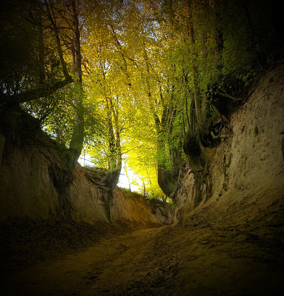
A loess ravine (sunken lane) in the eastern part of Kazimierz Dolny, within the Kazimierski Landscape Park. Exposed roots of trees and shrubs reinforce the walls of the incised track.
Description machine-translated from the original text; help us fix any mistakes. Report an error
Coordinates
51.32101, 21.97974

Coordinates of the feature; for paths and areas, these mark the centre, not a shooting position.
Navigation and sources
Imported data, not yet checked by a person. © OpenStreetMap (ODbL)