Architecture · imported, unverified
Fort 49a "Dłubnia"
fortress
municipality and region not yet available · Poland
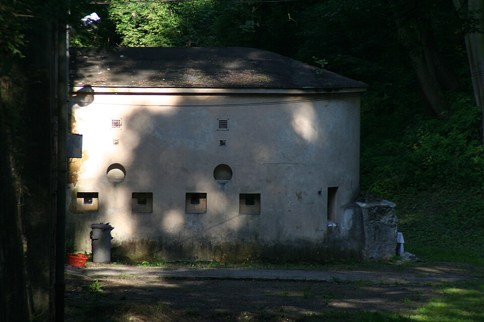
Fort pancerny główny 49a Dłubnia – zabytkowy fort Twierdzy Kraków. Powstał w latach 1892–1896. Jego zadaniem była ochrona doliny Dłubni, pomagały mu forty: 49 Krzesławice i 48a Mistrzejowice. Umocnieniami Fortu były Fort 49 ¼ Grębałów i Fort 49 Krzesławice. Fort nie brał udziału w walkach podczas I wojny światowej. W okresie międzywojennym pozostawał w gestii wojska.
Text: Wikipedia: Fort pancerny główny 49a „Dłubnia” (opening paragraph, possibly shortened), licensed under CC BY-SA 4.0. Contributors are listed in the article history. This text may be redistributed under the same terms.
Description available only in the original language for now.
Coordinates
50.09836, 20.04112

Coordinates of the feature; for paths and areas, these mark the centre, not a shooting position.
Navigation and sources
Imported data, not yet checked by a person. © OpenStreetMap (ODbL)