Rock formations and nature · imported, unverified
Jonaszówka
rock
municipality and region not yet available · Poland
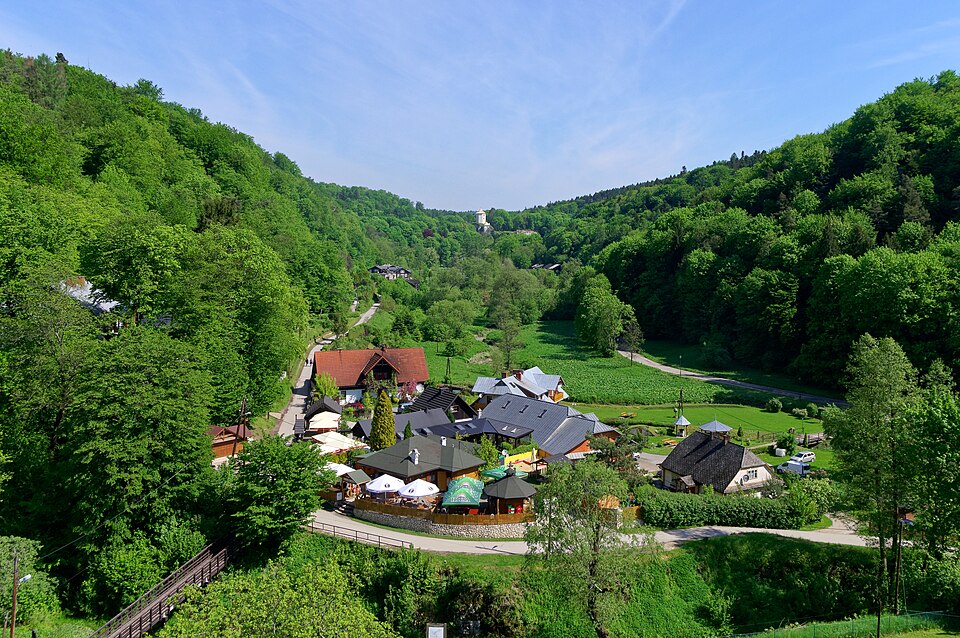
Jonaszówka, nazywana też Grubym Jankiem – skała na orograficznie prawym zboczu Doliny Prądnika na obszarze Ojcowskiego Parku Narodowego. Znajduje się u podnóży Chełmowej Góry w wylocie bocznej Doliny Sąspowskiej. Wraz ze znajdującą się po drugiej stronie tej doliny skałą Plażówki tworzy bramę skalną, słabo jednak rozpoznawalną, gdyż wylot Doliny Sąspowskiej jest dość szeroki.
Text: Wikipedia: Jonaszówka (opening paragraph, possibly shortened), licensed under CC BY-SA 4.0. Contributors are listed in the article history. This text may be redistributed under the same terms.
Description available only in the original language for now.
Coordinates
50.20265, 19.82742

Coordinates of the feature; for paths and areas, these mark the centre, not a shooting position.
Navigation and sources
Imported data, not yet checked by a person. © OpenStreetMap (ODbL)