Architecture · imported, unverified
Fort XIII San Rideau
fortress
municipality and region not yet available · Poland
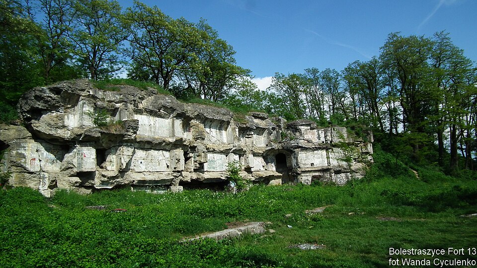
San Rideau (wym.: [rido̙] z fr. Osłona Sanu) – fort pancerny klasy „Einheitsfort” projektu Moritza von Brunnera należący do zewnętrznego pierścienia fortecznego Twierdzy Przemyśl, oznaczony numerem XIII. Łatwo dostępny, położony na terenie miejscowości Bolestraszyce ok. 6 km od Przemyśla.
Text: Wikipedia: Fort GW XIII „San Rideau” (opening paragraph, possibly shortened), licensed under CC BY-SA 4.0. Contributors are listed in the article history. This text may be redistributed under the same terms.
Description available only in the original language for now.
Coordinates
49.82158, 22.86125

Coordinates of the feature; for paths and areas, these mark the centre, not a shooting position.
Navigation and sources
Imported data, not yet checked by a person. © OpenStreetMap (ODbL)