Landscapes and viewpoints · imported, unverified
Wieża kościoła poewangelickiego w Żaganiu
tower
municipality and region not yet available · Poland
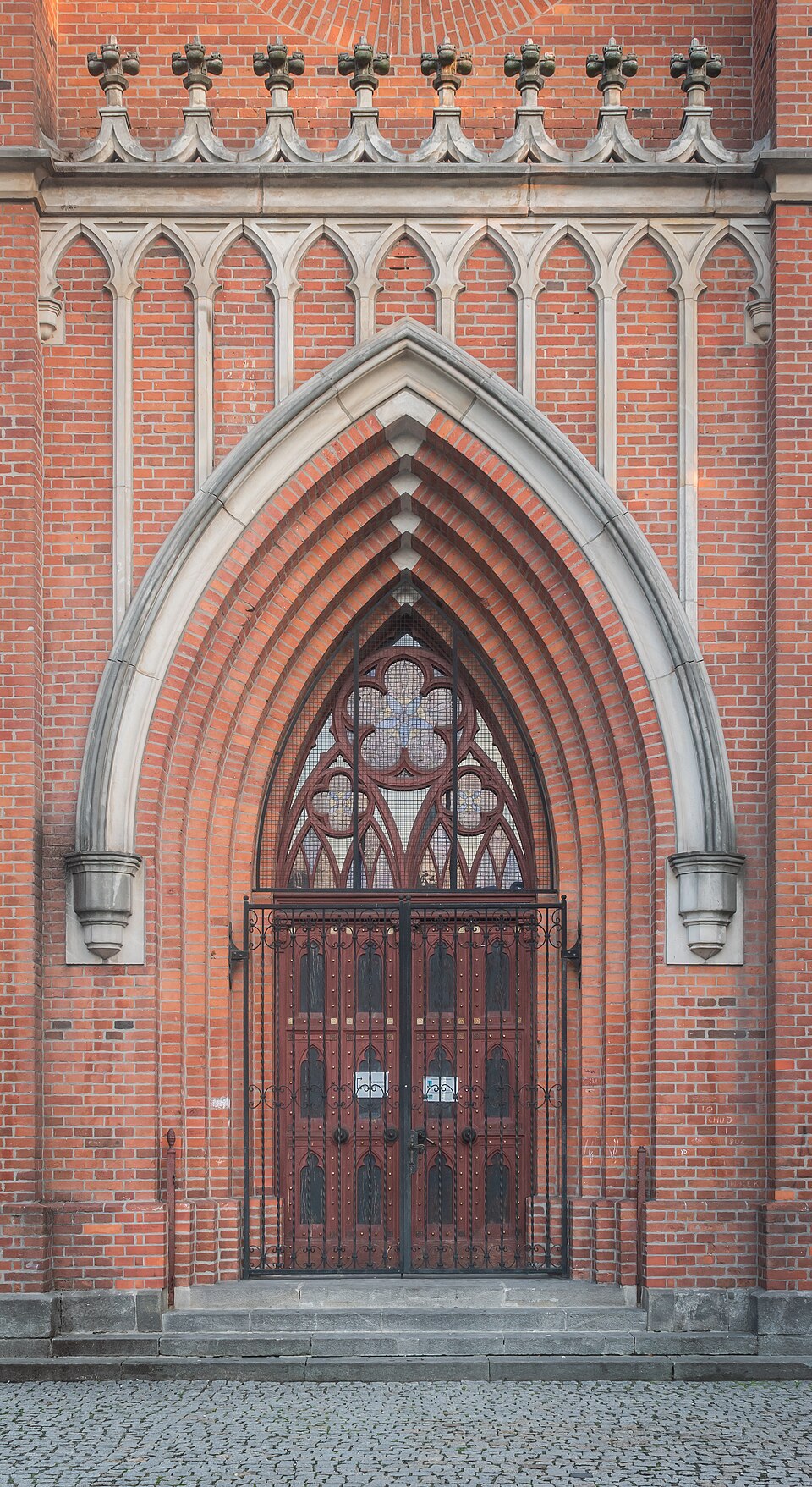
Wieża kościoła ewangelickiego w Żaganiu – wieża dawnego kościoła ewangelickiego pod wezwaniem Trójcy Świętej znajdująca się w Żaganiu. Kościół ten powstał w roku 1709 jako jeden z sześciu śląskich kościołów łaski. Wieża mieści kaplicę grobową książąt kurlandzkich i książąt żagańskich. Od 2004 roku pełni funkcje turystyczne, jako wieża widokowa o wysokości 70 m.
Text: Wikipedia: Wieża kościoła ewangelickiego w Żaganiu (opening paragraph, possibly shortened), licensed under CC BY-SA 4.0. Contributors are listed in the article history. This text may be redistributed under the same terms.
Description available only in the original language for now.
Coordinates
51.61886, 15.32136

Coordinates of the feature; for paths and areas, these mark the centre, not a shooting position.
Navigation and sources
Imported data, not yet checked by a person. © OpenStreetMap (ODbL)