Water · imported, unverified
Vodní nádrž Jesenice
reservoir
Cheb · Karlovarský kraj · Czech Republic
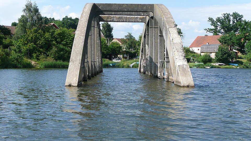
Vodní nádrž Jesenice is a reservoir located about 7 km southeast of Cheb on the Odrava River. Construction began in 1957 and finished in 1961. It is 12 km long, with a maximum depth of 24.2 m. Road I/21 runs along the dam. The reservoir serves to regulate flow rates on the Ohře River for downstream abstraction points and provides flood protection.
Text: Wikipedie: Vodní nádrž Jesenice (opening paragraph, possibly shortened), licensed under CC BY-SA 4.0. Contributors are listed in the article history. This text may be redistributed under the same terms.
Description machine-translated from the original text; help us fix any mistakes. Report an error
Coordinates
50.06449, 12.43894

Coordinates of the feature; for paths and areas, these mark the centre, not a shooting position.
Navigation and sources
Imported data, not yet checked by a person. © OpenStreetMap (ODbL)