Water · imported, unverified
Horní obděnický rybník
reservoir
Petrovice · Středočeský kraj · Czech Republic
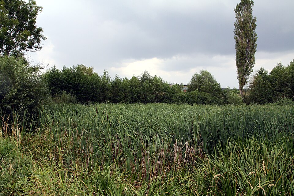
Horní a Dolní obděnický rybník is a natural monument (registration number 5952) in the Příbram district. The 33.93 ha protected area was established on March 15, 2014, to protect a Natura 2000 site supporting the fire-bellied toad (Bombina bombina). It is divided into two separate sections by road III/10533 and Varovský potok.
Text: Wikipedie: Horní a Dolní obděnický rybník (opening paragraph, possibly shortened), licensed under CC BY-SA 4.0. Contributors are listed in the article history. This text may be redistributed under the same terms.
Description machine-translated from the original text; help us fix any mistakes. Report an error
Coordinates
49.55938, 14.36921

Coordinates of the feature; for paths and areas, these mark the centre, not a shooting position.
Navigation and sources
Imported data, not yet checked by a person. © OpenStreetMap (ODbL)