Architecture · imported, unverified
Zamek Niesytno
château
municipality and region not yet available · Poland
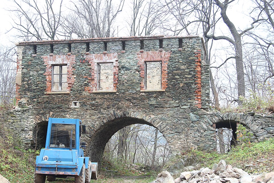
Zamek Niesytno w Płoninie (niem. Nimmersath) – zabytkowy zamek znajdujący się na szlaku Zamków Piastowskich, położony we wsi Płonina, na zachód od Bolkowa w Sudetach Zachodnich, we Wschodnim Grzbiecie Gór Kaczawskich, na skalnym cyplu – 550 m n.p.m.
Text: Wikipedia: Zamek Niesytno (opening paragraph, possibly shortened), licensed under CC BY-SA 4.0. Contributors are listed in the article history. This text may be redistributed under the same terms.
Description available only in the original language for now.
Coordinates
50.90429, 16.0036

Coordinates of the feature; for paths and areas, these mark the centre, not a shooting position.
Navigation and sources
Imported data, not yet checked by a person. © OpenStreetMap (ODbL)