Architecture · imported, unverified
Református templom
church
municipality and region not yet available · Hungary
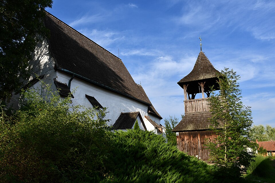
A kicsiny, alig több mint félezer lakosú faluban, Zubogyon dombon áll, szépen parkosított környezetben a középkori eredetű református templom. Megközelítéséhez a községi postánál lévő buszmegállónál kell letérni a településen átvezető 2603-as útról a Szabadság útra, melyen nagyjából 500 méter autóúttal vagy sétával érhető el.
Text: Wikipédia: Zubogyi református templom (opening paragraph, possibly shortened), licensed under CC BY-SA 4.0. Contributors are listed in the article history. This text may be redistributed under the same terms.
Description available only in the original language for now.
Coordinates
48.38102, 20.57562

Coordinates of the feature; for paths and areas, these mark the centre, not a shooting position.
Navigation and sources
Imported data, not yet checked by a person. © OpenStreetMap (ODbL)